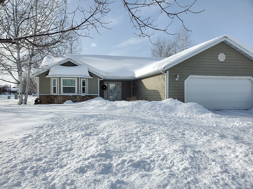
Snow at our house in March
It’s hard to believe the 2025 Hayduke trip is almost upon us. Unfortunately, I got sick the first week of March with a cold or flu and it has taken weeks to get rid of it. In fact, as of today, I’m still trying to get rid of the final congestion. So, my training schedule was shot, as I was tired and stuffed up so couldn’t really get out there and do serious hikes. I did manage walks and doing exercises at home, so I didn’t totally lapse, but wish I were in better shape. It will mean slowing down even more, but that’s okay.
My plan is to prioritize fun, safety (meaning not getting injured), and so I have modified my expectations and routes to hopefully make this work. I am taking more days off, greatly reducing daily mileage, shortening sections if necessary, and eliminating the sections less spectacular or more apt to exacerbate the kind of injury I’ve been having, bouldery and super rocky areas, for example. I hope this works.
The past week in Montana has been balmy with temps in the high sixties to almost 70 degrees. It turned colder last night and we’ve been having snow flurries. Fingers-crossed that we don’t have snow on the journey down. Every other time it has snowed near Lima, MT near the Idaho border, so I hope we break that record this year. Yeti checked the long-term forecast and it has lousy weather! But, that could change by April 8 – our leave day. We get to Boulder, UT on the 9th and stay overnight in a motel there. The next day, Yeti will drive me out to the Burr Trail TH for Muley Twist Canyon where I start. This is where I ended the last time. I meet Yeti on Day 2 early for re-supply and a half-day off. I’ll camp with him that night and then continue on. There is a way to shorten this section too if need be.
The photo here shows how much snow we had at the beginning of March and now all of that snow is gone by the house. Hard to believe.
Finishing up gear and food prep. I want to practice a bit with the Garmin Mini 2 – always have to brush up as I don’t use it locally for tracking and messaging. Also, review the Locus program which is a phone/tablet based navigating app that is a back-up to the GPS. GPS is still the go-to navigating tool because of better battery life, but I can fire up the phone in a pinch – or the tablet which has all the maps/tracks. I also will carry Li Brannfors’ maps in paper – I still like and use paper maps in combo with the GPS. I mostly use my phone for photos.
So, down to the wire. Will try some hikes this week, though weather looks kind of gloomy. But not planning to over do it. At this point, I will slow down rather than over doing it.